Explore the Royal Docks
Well connected
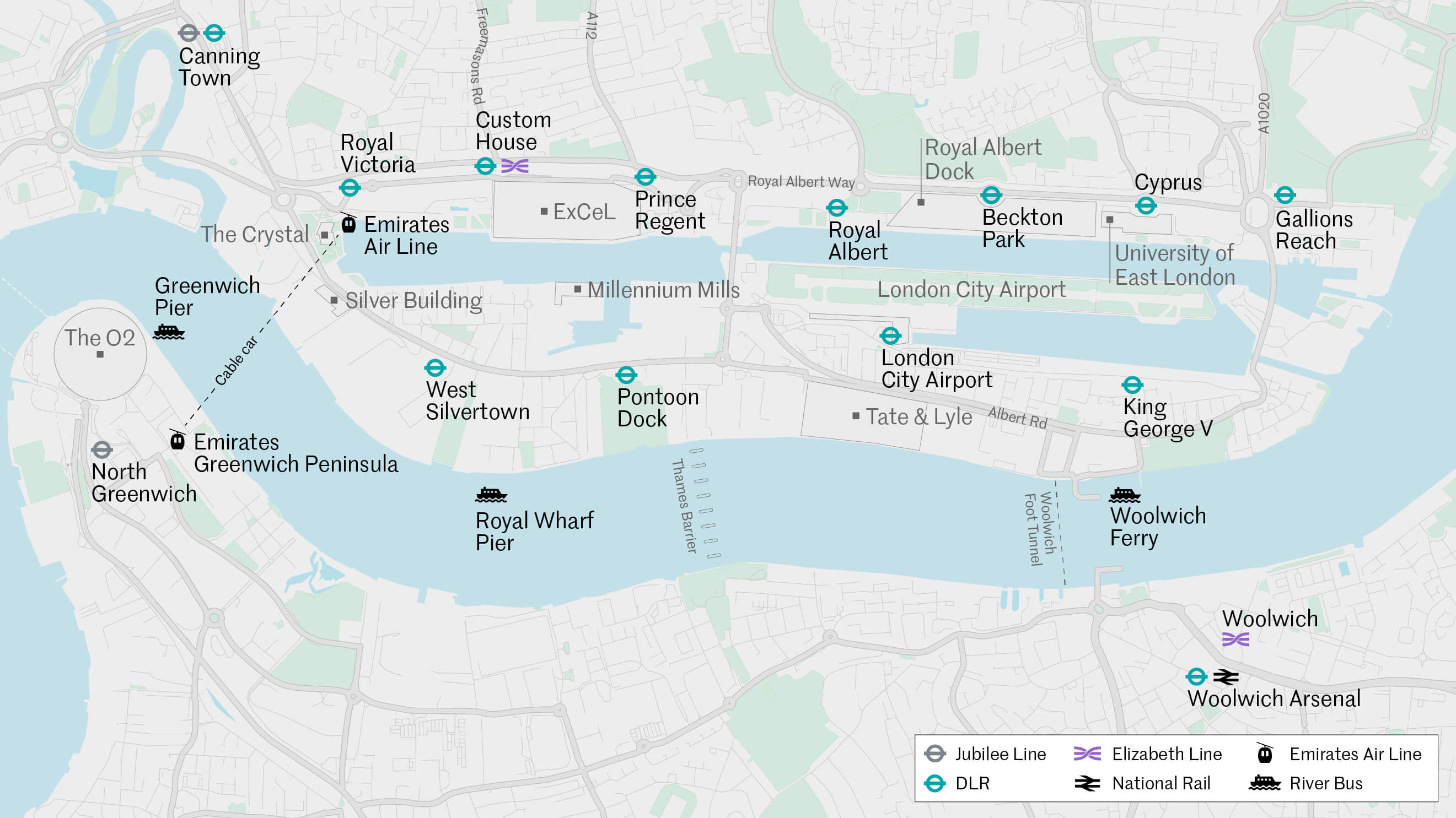
Across the capital, the Elizabeth Line now links Custom House with Liverpool Street in 10 minutes, while London City Airport flies to destinations around Europe and more. Within the Royal Docks, you’re never far from a station; DLR lines serve the north and south sides with 11 stops. Dockside walking and cycling routes also provide a traffic-free haven. The IFS Cloud Cable Car connects Royal Victoria to Greenwich Peninsula via London’s only cable car.
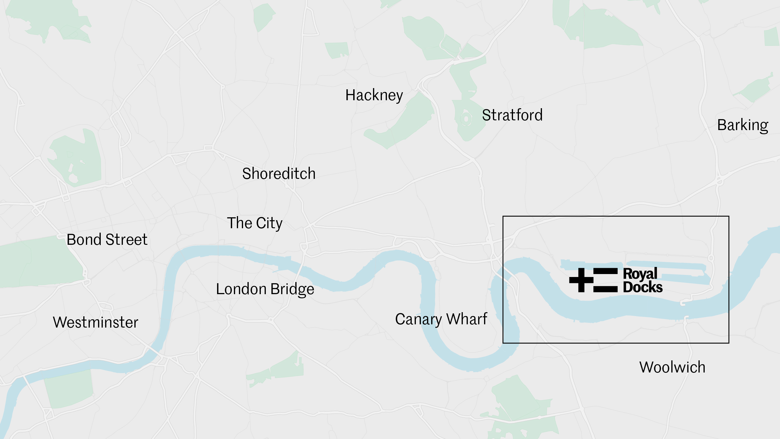
Where to find us
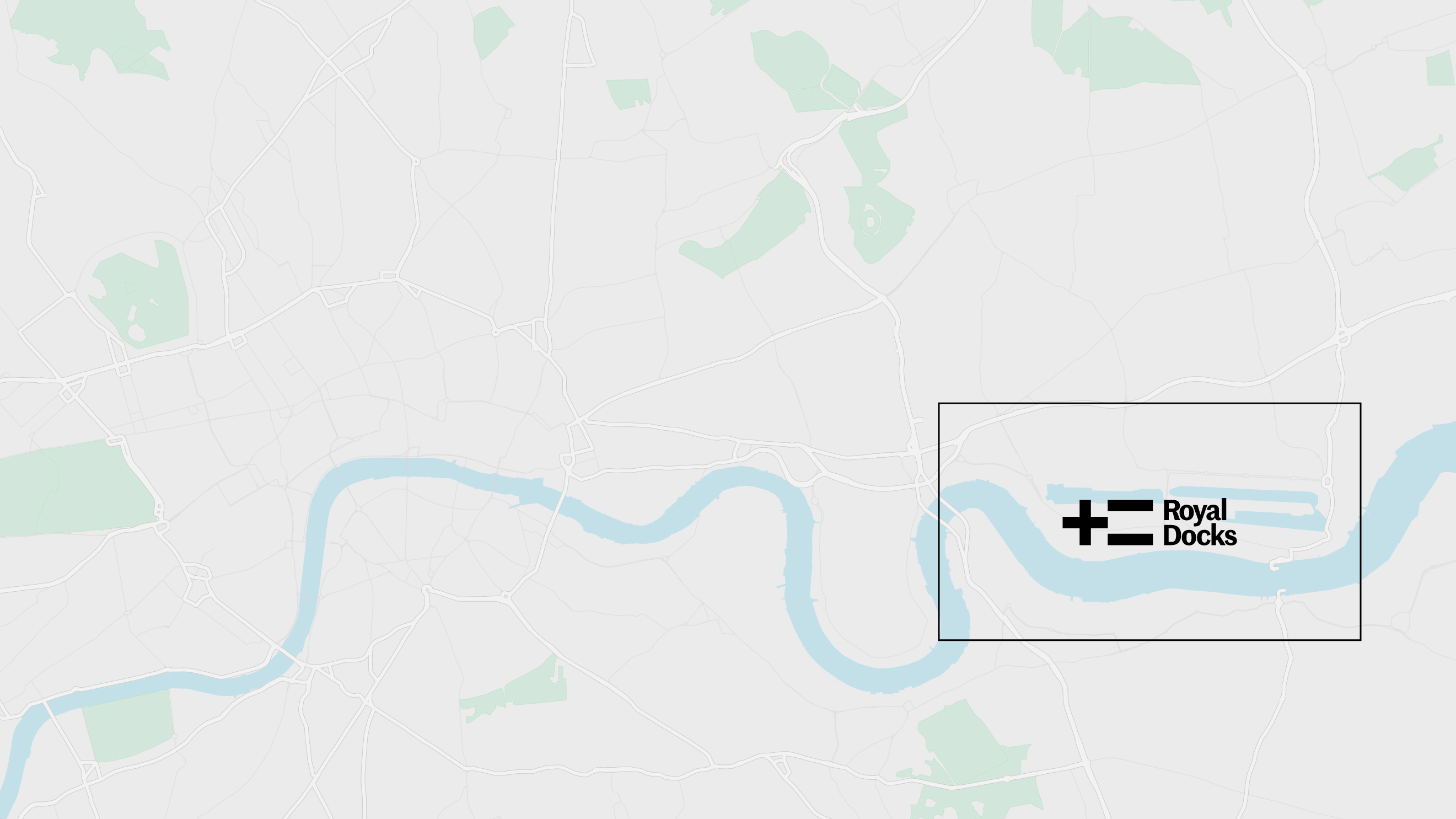
Royal Docks
Travel times
-
-
Custom House
to Canary Wharf - 4 minutes, Elizabeth Line
-
Custom House
-
-
Royal Victoria
to London Bridge - 21 minutes
-
-
Custom House
to Bond Street - 20 minutes, Elizabeth Line
-
Custom House
-
-
London City Airport
to Canary Wharf - 18 minutes